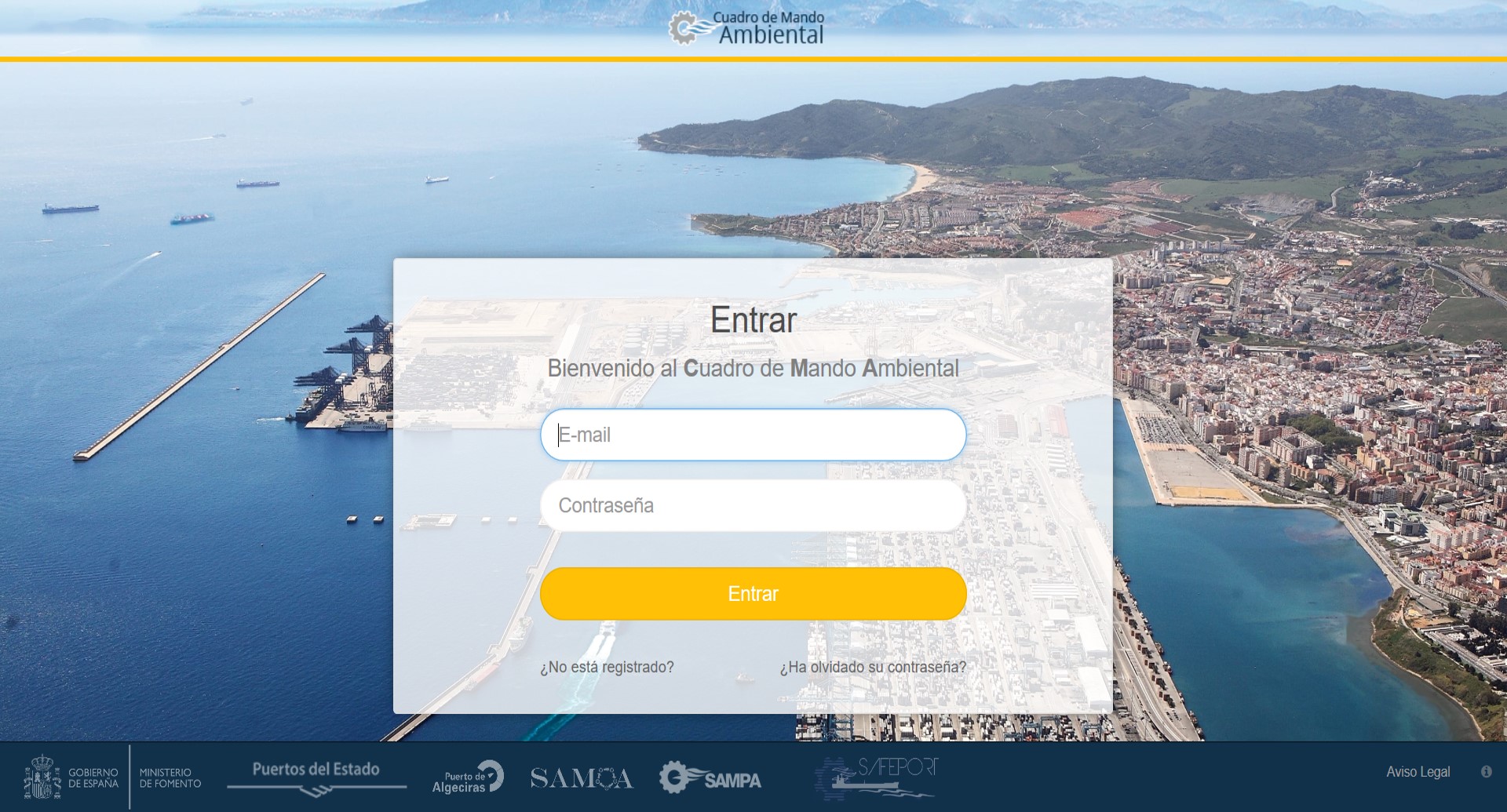
The Environmental Control Panel (ECP) mobile app is now available for the Ports of Algeciras and Tarifa, complementing the existing website.
Both applications allow access to the measurement station’s real-time data and predictions and historical data of the main variables of interest (wind, waves and currents) in the Strait of Gibraltar, the Bay of Algeciras and Tarifa. It also brings together the rest of the tools developed in the Algeciras SafePort project, which serve as support for port design and exploitation:
- Atlas of maritime climate (historical information)
- Prediction of operational risk
- Rebase alert system in the Port of Tarifa
- Ship-generated wave atlas
The Algeciras SafePort project has created a quantitative leap (in relation to the SAMPA project) in the spatial resolution of the measurement and modelling of ocean-meteorological variables. It uses high-resolution numerical models both for obtaining historical series (hindcast) and for the creation of an operational system (forecast) in the Operational Areas of Interest of the Port. There is an emphasis on the development of new IT tools (Information Technologies) for the application of this information by the users.
To use the application, the user is required to register through the App itself (developed by Nologin Consulting) or the web application. Once the registration is complete, in addition to accessing the information, the user receives a report twice a day (at 9:30 and 21:30). The report is a summary of wind and wave predictions in the Strait of Gibraltar, the Bay of Algeciras and Tarifa. The same information is also available on APBA’s website.
Please note that the provision of this information through IT tools has been the result of collaboration between the State Ports Agency (OPPE) and Algeciras Port Authority (APBA).

0 respuestas en "The Port of Algeciras shares its predictions and real-time weather information through a mobile app"